Hurricane Erin Weakens to Category 3, But Its Massive Size Poses Significant Coastal Threats
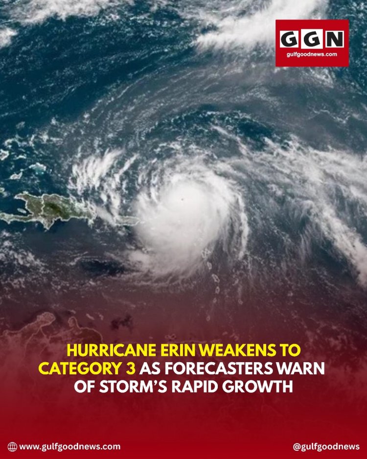
Hurricane Erin has weakened to a Category 3 storm but remains a serious threat due to its enormous size and expanding impact zone. Though its peak strength as a Category 5 storm has diminished, meteorologists warn that the storm continues to pose significant dangers to the U.S. East Coast.
The hurricane, which originated near the Caribbean, has grown into a massive system stretching hundreds of miles. Even without a direct landfall, Erin’s wide wind field and powerful swells are creating hazardous conditions from Florida to Maine. Coastal areas are already seeing dangerous surf, beach erosion, and life-threatening rip currents.
North Carolina’s Outer Banks and other coastal communities have been hit hardest so far. Officials have reported storm surges of 2 to 4 feet, waves reaching up to 20 feet, and overwash in low-lying areas. More than 60 water rescues were carried out at Wrightsville Beach, NC, as rip currents trapped swimmers despite “no swimming” warnings.
Authorities across the East Coast have ordered precautionary evacuations in flood-prone areas, closed beaches, and urged residents to stay alert. While the National Hurricane Center does not currently expect Erin to make landfall, the storm’s combination of high tides, strong winds, and widespread swells continues to fuel concerns about coastal flooding.
Officials are reminding residents to monitor advisories closely and avoid entering the water, as dangerous conditions are expected to persist for several days.